Cornwall Trail Camera Project (2020-2023)
The Champlain Valley’s rich clayplain soils and warmer temperatures support an unusual diversity of native plant and animal species. In Cornwall, with the decrease in actively farmed fields, there are more early successional woodlands that are making our town especially hospitable to wildlife.
For several years the Commission had been collecting anecdotal reports from residents about the presence of larger mammal predators. These sightings came from throughout the town. The CC was interested in learning more about these wildlife “neighbors.”
In the Spring of ’20, the Conservation Commission began the Trail Camera Project, setting out four cameras in spots where there had been reports of frequent wildlife sightings. We added a fifth camera to the project in August.
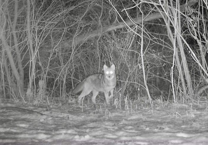
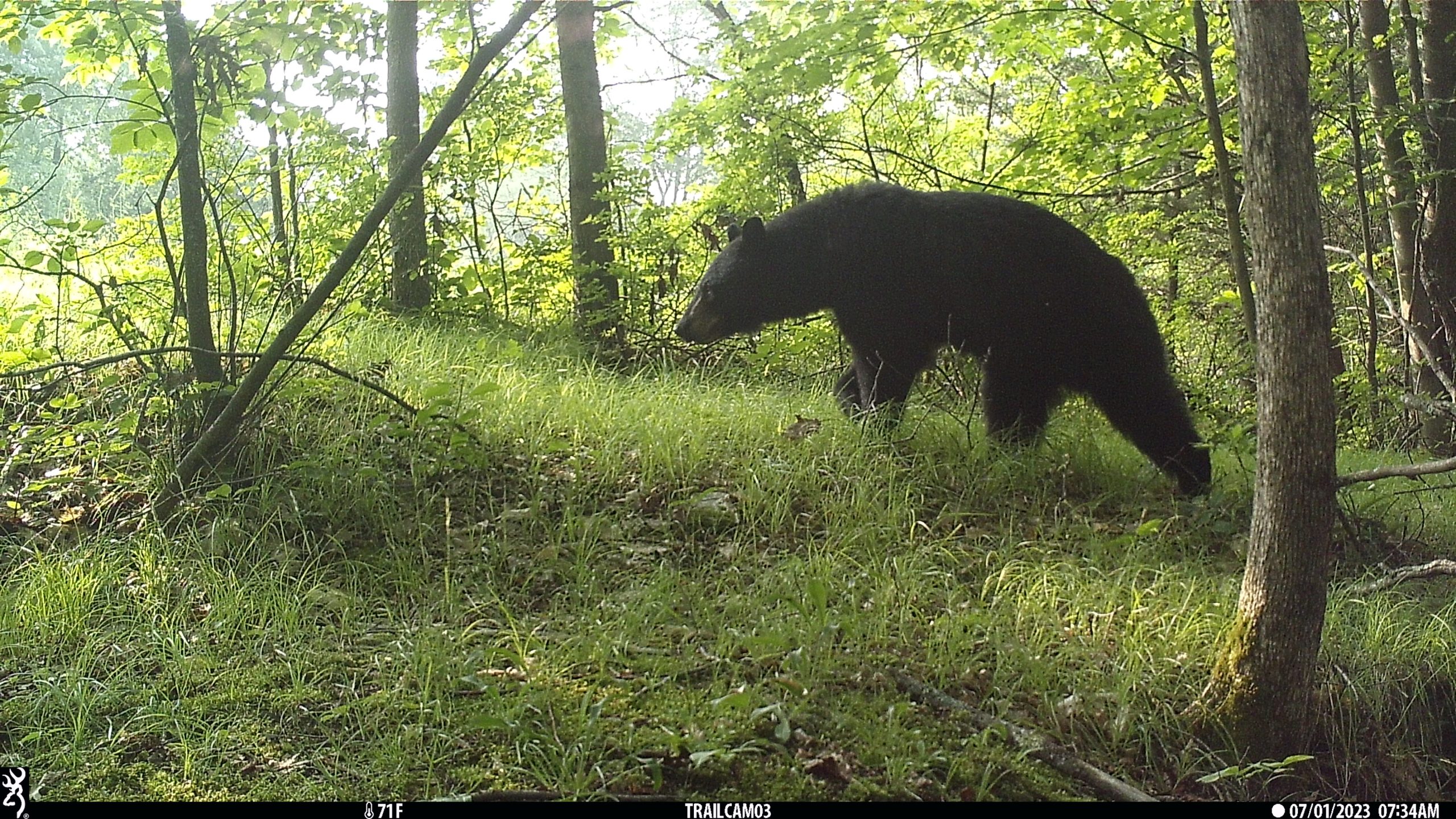
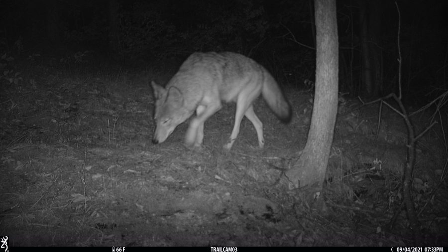
Our 3 years of collecting trail camera pictures ended in June. Pictures from 30+ sites have given the CC a beginning look at the town’s wildlife and how Cornwall’s larger predators (bobcat, coyote, and bear) travel distances to find food, using the protective cover of forests and adjacent habitat. Moving at night, we rarely see them, but our cameras did. Photos from the project have been shared in several newsletters.
As the Trail Camera Project was coming to its completion, the Conservation Commission recognized the importance of specific landscape features in supporting the town’s wide-ranging wildlife population. We began planning for an in-depth study that would pinpoint and map where Cornwall’s forests, shrub-lands, wetlands, stream and riverbeds link together and serve as connected habitat, providing safety for these species as they roam in search of food and shelter.
Where the Wild Things Are: An Inventory and Assessment of Cornwall Wildlife Habitat Connectivity Blocks (2023-2025)
An inventory of the town’s connected landscape linkages is now underway! Our goal is to identify the areas in Cornwall where forests, shrubs, and river corridors join together to provide contiguous, protective cover for the town’s wide-ranging wildlife species (think: bobcat) as they move long distances in search of food and safe shelter.
Wildlife ecologist, Sophie Mazowita, is overseeing the completion of this two-year project. Phase I entailed consolidating existing wildlife data, conducting community interviews and a public presentation, and preparing a preliminary habitat connectivity map. In Phase II (Full Year ’24-Spr ’25), we will be documenting wildlife presence in identified connectivity blocks via field cameras, site visits, and tracking. In Phase III (Summer ’25), this data will be presented in a Final Report that describes Cornwall’s most important habitat areas by vegetation, topography, natural features and wildlife presence. This information will be shared in a public meeting.
Get Involved!
Sophie is inviting townspeople to assist in the collection of data. Share your interest with the CC. Contact Mary Dodge, mdodge@middlebury.edu
Cameras in action!
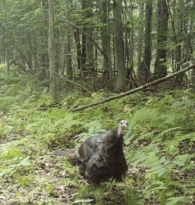
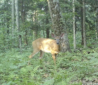
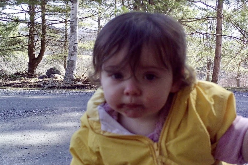
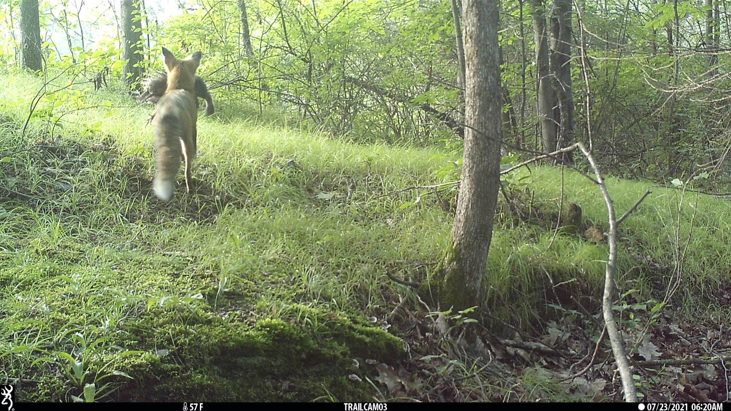
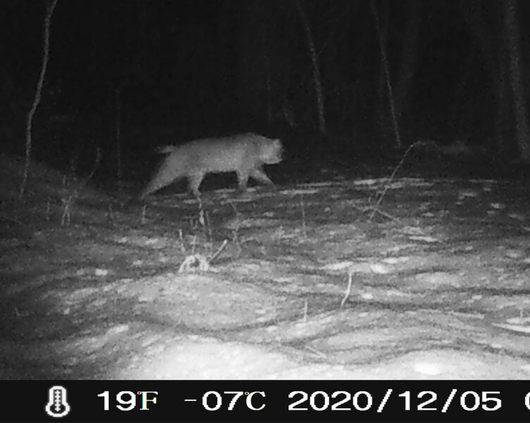
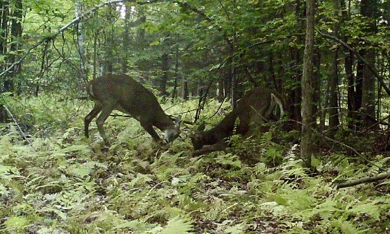
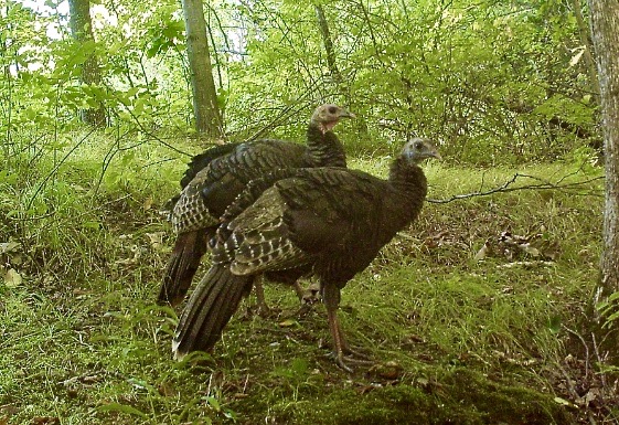
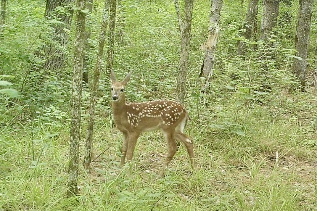
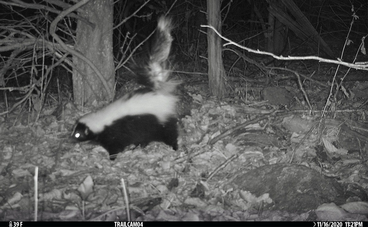
Wildlife pictures can tell us a lot about the animals who use these sites. Here are some of our favorite photos from 2020-2023.
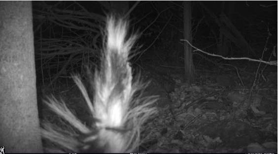
Mystery photo! What animal is this?
Getting your own camera
If you have never used a trail camera, the Conservation Commission can share tips on finding a good one online and guide you through the first steps in learning how to use it.
Camera Trapping Guide by Janet Pesaturo is an excellent resource for photography techniques as well as photos and information on each animal’s physical characteristics, tracks, diet, scat, habitat, breeding, as well as specific camera-setting tips.
For one-hour talk about trail cameras, in which Pesaturo discusses how trail cameras work and how to set them up, go here.
For further information about this project or to participate in it, contact Conservation Commission member Mary Dodge.